alb4614689
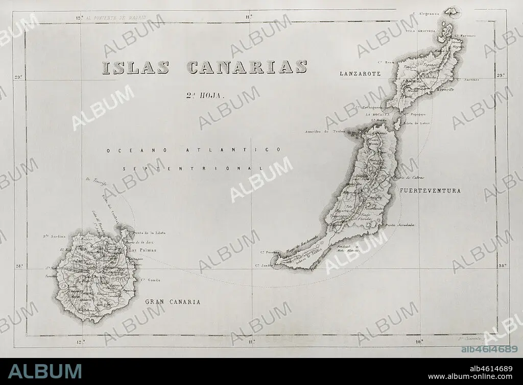
History of Spain. Map of the Canary Islands. Islands of Gran Canaria, Lanzarote and Fuerteventura. Engraving. Crónica General de España, Historia Ilustrada y Descriptiva de sus Provincias (General Chronicle of Spain, Illustrated and Descriptive History of its Provinces), Canaries, 1871.
| Partager |
|---|
 Pinterest Pinterest |
 Twitter Twitter |
 Facebook Facebook |
 Copier le lien Copier le lien |
 Email Email |
|
Ajouter à une autre Lightbox |
|
Ajouter à une autre Lightbox |


Avez-vous déjà un compte? S'identifier
Vous n'avez pas de compte ? S'inscrire
Acheter cette image

Légende:
Voir la traduction automatique
History of Spain. Map of the Canary Islands. Islands of Gran Canaria, Lanzarote and Fuerteventura. Engraving. Crónica General de España, Historia Ilustrada y Descriptiva de sus Provincias (General Chronicle of Spain, Illustrated and Descriptive History of its Provinces), Canaries, 1871.
Emplacement:
Collection privée
Crédit:
Album / Prisma
Autorisations:
Modèle: Non - Propriété: Non
Questions sur les droits?
Questions sur les droits?
Taille de l'image:
4613 x 3164 px | 41.8 MB
Taille d'impression:
39.1 x 26.8 cm | 15.4 x 10.5 in (300 dpi)
Mots clés:
ARCHIPEL • CANARY ISLANDS • CARTE (GEOGRAPHIE) • CARTE GEOGRAPHIQUE • CARTE • CARTOGRAPHIE • COLLECTION PRIVÉE • DESSIN PLANS • ESPAGNE • ESPAGNOL • FRAVURE • GEOGRAPHIE • GRAVURE • HISOIRE • HISTOIRE • ILE • ÎLES • OCEAN ATLANTIQUE • PLAN (CARTOGRAPHIE) • PLANS • PROVINCE • PROVINS • SCIENCE: CARTOGRAPHIE • TERRITOIRE • XIXE SIÈCLE
