alb4291876
Copy of Juan de La Cosa's map (detail)
| Partager |
|---|
 Pinterest Pinterest |
 Twitter Twitter |
 Facebook Facebook |
 Copier le lien Copier le lien |
 Email Email |
|
Ajouter à une autre Lightbox |
|
Ajouter à une autre Lightbox |


Avez-vous déjà un compte? S'identifier
Vous n'avez pas de compte ? S'inscrire
Acheter cette image

Titre:
Copy of Juan de La Cosa's map (detail)
Légende:
Voir la traduction automatique
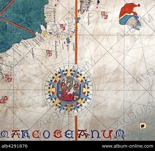
Nautical chart. Detail of the islands of Cuba and Santo Domingo (La Espagnola). Copy of the map of Juan de La Cosa (1450-1510) drawn in 1500. Genoa, Galata Museum of the Sea (Galata Museo del Mare)
Crédit:
Album / Alfredo Dagli Orti/Photo12
Autorisations:
Modèle: Non - Propriété: Non
Questions sur les droits?
Questions sur les droits?
Taille de l'image:
4600 x 4169 px | 54.9 MB
Taille d'impression:
38.9 x 35.3 cm | 15.3 x 13.9 in (300 dpi)
Mots clés:
16E SIECLE • 16EME S • CARTE • CARTOGRAPHIE • CHERCHEUR • CONQUERANT • CONQUISTADOR • DÉCOUVERTE • DECOUVREUR • ESPAGNE • EXPLORATEUR • EXPLORATION • GEOGRAPHIE • ROSE DES VENTS • SCIENCE: CARTOGRAPHIE • SEIZIÈME SIÈCLE • VIERGE ¿L'ENFANT • VOYAGEUR • XVIE SIECLE
