alb3974858
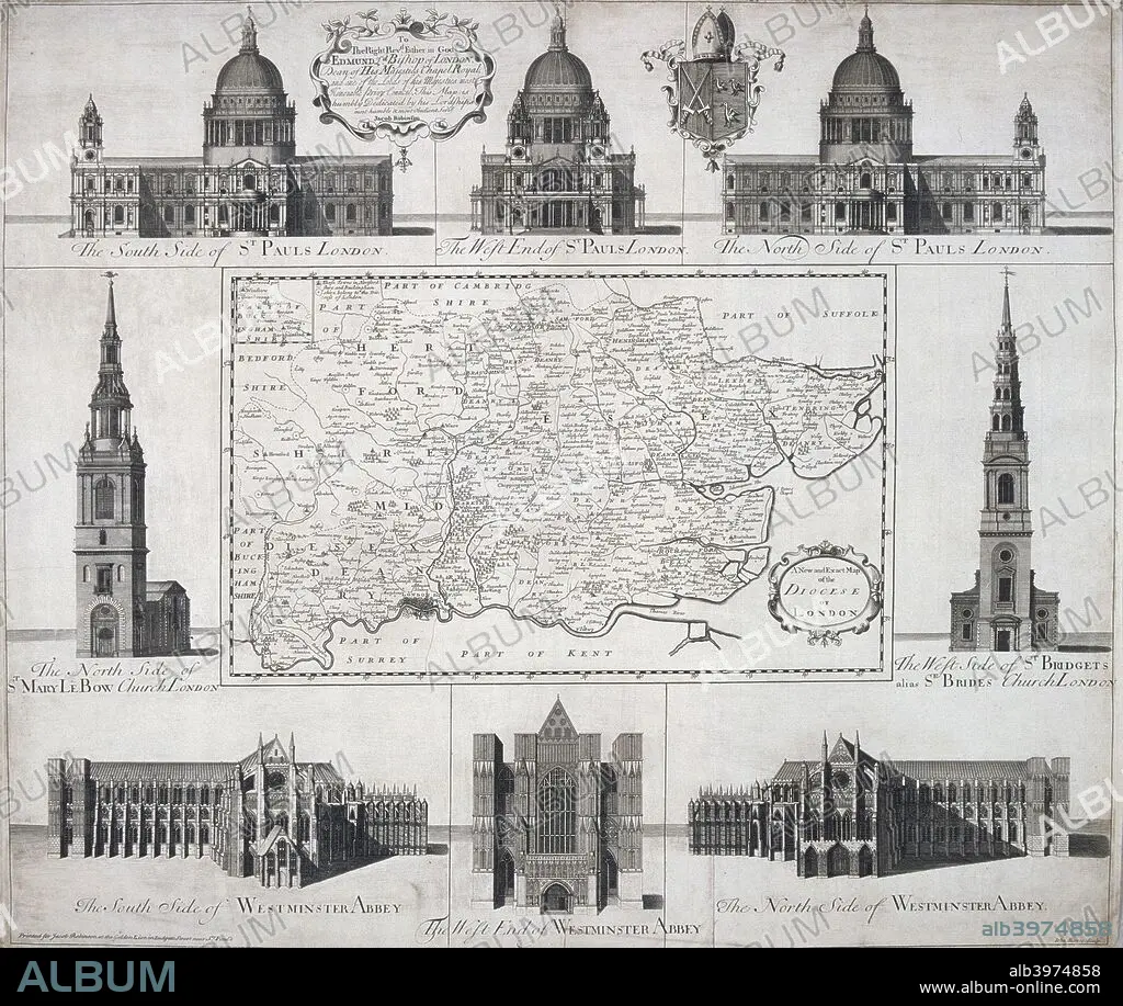
Map of the Diocese of London, 1720. Artist: John Harris
| Partager |
|---|
 Pinterest Pinterest |
 Twitter Twitter |
 Facebook Facebook |
 Copier le lien Copier le lien |
 Email Email |
|
Ajouter à une autre Lightbox |
|
Ajouter à une autre Lightbox |


Avez-vous déjà un compte? S'identifier
Vous n'avez pas de compte ? S'inscrire
Acheter cette image

Titre:
Map of the Diocese of London, 1720. Artist: John Harris
Légende:
Voir la traduction automatique
Map of the Diocese of London, 1720. The map is surrounded by views of St Paul's Cathedral, Westminster Abbey, St Mary le Bow and St Bride's.
Personnalités:
Crédit:
Album / The London Archives (City of London)/Heritage Images
Autorisations:
Modèle: Non - Propriété: Non
Questions sur les droits?
Questions sur les droits?
Taille de l'image:
2727 x 2301 px | 18.0 MB
Taille d'impression:
23.1 x 19.5 cm | 9.1 x 7.7 in (300 dpi)
Mots clés:
18 18E 18EME XVIII XVIIIE XVIIIEME SIECLE • 18E SIECLE • 18EME S • ANGLETERRE • ARCHITECTURE: CATHEDRALE • CATHEDRALE • CHRISTIANISME • DIX-HUITIÈME SIÈCLE • DOM • ECCLESIA • EGLISE • EGLISE, INTERIEUR • ÉGLISES • INTERIEUR: EGLISE • MONOCHROME • NOIR ET BLANC • RELIGION • RELIGION, CATHEDRALE • SIR CHRISTOPHER WREN • TROGLODYTE MIGNON • XVIIIE SIECLE
