alb1471792
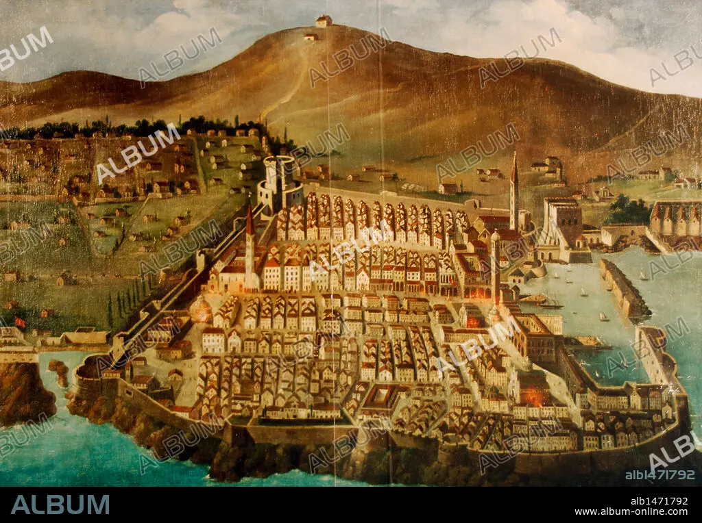
Dubrovnik. Map of the city before the earthquake of 1667. Croatia.
| Partager |
|---|
 Pinterest Pinterest |
 Twitter Twitter |
 Facebook Facebook |
 Copier le lien Copier le lien |
 Email Email |
|
Ajouter à une autre Lightbox |
|
Ajouter à une autre Lightbox |


Avez-vous déjà un compte? S'identifier
Vous n'avez pas de compte ? S'inscrire
Acheter cette image

Légende:
Voir la traduction automatique
Dubrovnik. Map of the city before the earthquake of 1667. Croatia.
Crédit:
Album / Prisma
Autorisations:
Modèle: Non - Propriété: Non
Questions sur les droits?
Questions sur les droits?
Taille de l'image:
3991 x 2770 px | 31.6 MB
Taille d'impression:
33.8 x 23.5 cm | 13.3 x 9.2 in (300 dpi)
Mots clés:
17E SIECLE • 17EME S • CARTE (GEOGRAPHIE) • CARTE GEOGRAPHIQUE • CARTE • CARTOGRAPHIE • CROATIE • DESSIN PLANS • DIX-SEPTIÈME SIÈCLE • DUBROVNIK • FORTIFICATION: REMPARTS • MONT • MONTAGNE • MONTAGNES • MUR D'ENCEINTE • MURAILLE • PLAN (CARTOGRAPHIE) • PLANS • REMPART • REMPARTS • SCIENCE: CARTOGRAPHIE • XVIIE SIECLE
